What Happened
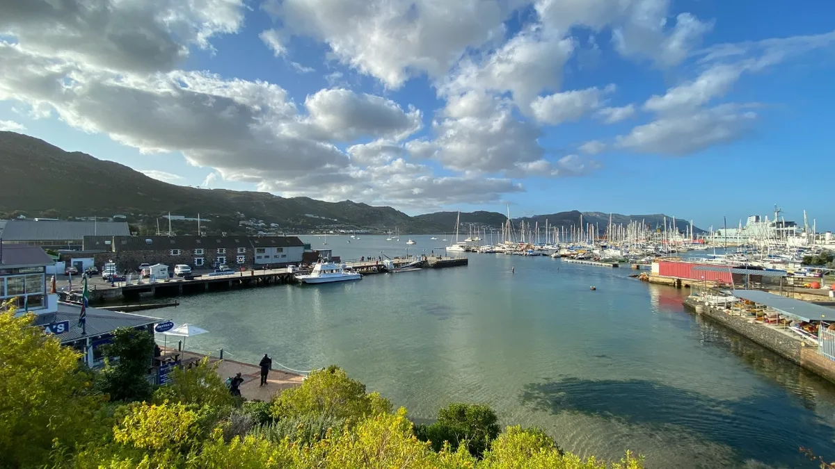
Today, February 24, Cape Town is experiencing partly cloudy skies with a chance of drizzle. The forecast indicates a high of 24°C and a low of 18°C. The UV index is expected to reach a level of 6, indicating moderate risk from unprotected sun exposure.
Additionally, a north-westerly wind is blowing through the city at a speed of 19 kph, with gusts reaching up to 44 kph. This evening, the wind will shift to a north-northwesterly direction, maintaining a speed of 17 kph and gusts of 35 kph. There is a 25% probability of precipitation throughout the day and evening.
Why It Matters
The weather conditions are significant as they can impact daily activities and travel plans for residents and visitors in Cape Town. The moderate UV index suggests that sun protection is advisable for outdoor activities. Furthermore, the potential for drizzle and wind gusts may affect outdoor events and transportation.
In a broader context, the South African Weather Service has issued warnings for severe thunderstorms across various provinces, including a Yellow Level 4 warning for heavy downpours that could lead to flooding in susceptible areas. This highlights the need for caution in affected regions.
What’s Next
Residents are advised to stay informed about the weather updates, particularly those in areas under severe weather warnings. The South African Weather Service continues to monitor conditions and will provide updates as necessary. For Cape Town, the evening will see increased cloud cover, with sunset occurring at 7:29 PM.
As the weather evolves, individuals should prepare for possible changes and remain vigilant, especially in light of the broader weather warnings affecting multiple provinces.