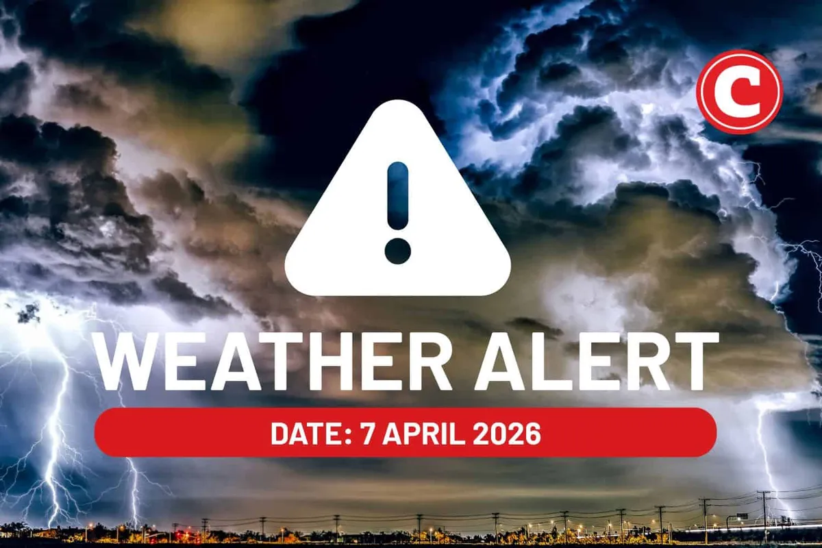
A Yellow Level 2 severe thunderstorm warning is in effect for parts of North West and Free State, South Africa, as severe thunderstorms are expected to bring strong damaging winds, hail, excessive lightning, and heavy downpours.
The South African Weather Service has warned that these conditions could lead to possible flooding and localized damage to infrastructure, settlements, property, vehicles, livelihood, and livestock. “Severe thunderstorms with strong damaging wind, hail, excessive lightning and heavy downpours leading to possible flooding, as well as localised damage to infrastructure, settlements (informal), property, vehicles, livelihood and livestock are expected over the south-western parts of North West and the north-western parts of Free State,” a spokesperson from the service stated.
In addition to the severe weather warnings, morning fog is anticipated along the southern escarpment in Limpopo. Meanwhile, Gauteng will experience cloudy and cool conditions with scattered showers and thundershowers.
The Northern Cape is expected to have settled conditions, although isolated showers and thundershowers are forecasted in the north. The Western Cape is predicted to be partly cloudy at first, but will otherwise be fine and warm to hot.
In terms of UV exposure, the expected UVB sunburn index in Gauteng is moderate, while the Western Cape is facing a very high UVB sunburn index. KwaZulu-Natal will be cloudy and cold to cool, with isolated showers and rain.
Coastal winds are expected to vary considerably by location and time of day, adding to the complexity of the weather conditions across the regions. The eastern half of the Eastern Cape will be cloudy with light morning rain and isolated afternoon thunderstorms.
Details remain unconfirmed regarding the extent of the impact from the anticipated severe weather. Residents are advised to stay informed and take necessary precautions as the situation develops.